Lose Lake


placed by Adi, Jennifer and Dakota. The official page for this cache is here.
Coordinates N 49° 49.552 W 92° 25.209 (WGS84)
Description This cache is located about 47km south of Sioux Lookout next to Provincial Highway 72. It is to the west of the highway on top of lightly red coloured rock cut.
Parking is available about 530 Meters northeast of the cache location. The coordinates for the parking location are N 49° 49.815 W 92° 25.044 (WGS84).
The Story We discovered this spot during one of our drives home from Dryden. The rock cut is right after a curve on a hill. I didn’t believe it was safe to park in the immediate area of the rock cut. However, about 530 Meters towards Sioux Lookout we found the entrance to a gravel pit on our right. This small gravel road immediately opened up into a larger area with solid ground, perfect for parking.
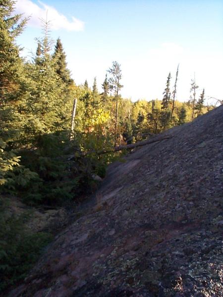
After parking the vehicle I walked along the side of the highway towards the rock cut. Just before the rocks rose out of the ground there was a small opening in the brush to my right and I decided to enter the woods and tackle the rocks from this angle. The rock ascended quickly. There were a few fallen trees and rotten trunks to climb over.
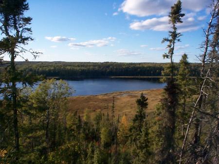
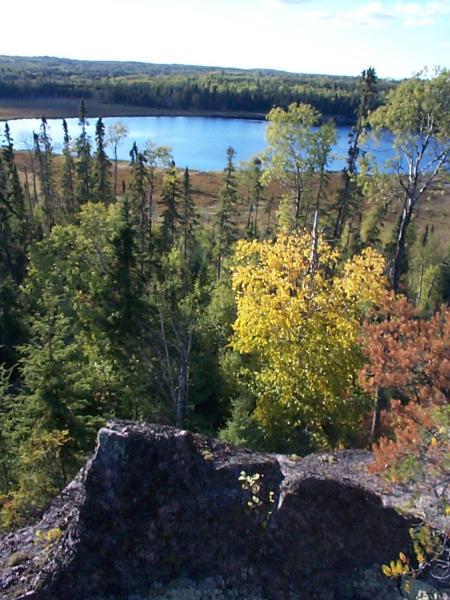
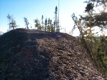
The top of the rock was smooth with steep drop offs to the east and west. The view was stunning. I ventured to the far south end, where again, the rock dropped of steeply. There I discovered an area which looked ideal for a cache. The coordinates were marked and recorded for future placement of a cache.
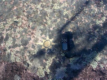
The quest for a safe route to descend began. I walked back in the opposite direction (north) and discovered the image of a sun drawn onto the rock surface (picture to the left). There was a steep valley to the east which looked promising and safe to descend. This path proved successful and might even be suitable to get onto the rock from its south side.
Warning! This place is very pretty and reasonably easy to get to under ideal conditions: warm and dry. However, it would not be safe to climb this rock under wet or icy conditions.
Jennifer, Dakota and I returned to this location to place the cache on October 12, 2002. This time we parked in the curve, near the top of the hill. The shoulder has a nice and gentle slope, so it was possible to actually drive off the road into the ditch and park right there. The coordinates for that parking location are N 49° 49.545 W 92° 25.175 (WGS84).
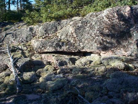
I went to place the cache by myself. The cache location is at the very southern end of the rock. Once there, turn around and face north. Slightly left is a rock ledge with a large horizontal split at the bottom. I placed the Rubbermaid container into this crack. One must get on their hands and knees to look for this one and retrieve it.
The contents of this cache are a small notepad with pen and pencil, 4 SIMM sticks, a toothbrush holder and 2 cable ties.